Open Digital Elevation Model (OpenDEM)
The Portal for sharing the 3rd Dimension

01.01.2026
More datasets were added to the: OpenDemSearcher
- Portugal 0.5 m DTM and DSM. Also 2m and LAZ data available. Registration required.
- Rio de Janeiro (Brasil) 20.0 DSM.
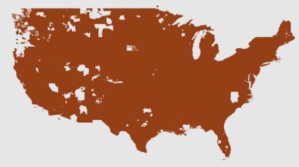
- United States of America (USA) 1m DTM. The area has not yet been fully covered (see figure below).
20.09.2026
Not a free dataset! But maybe useful for some applications
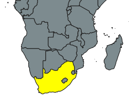
South Africa, 25m Digital Terrain Model.
Registration required, download via:
https://ngigeoportal.dlrrd.gov.za/cdngiportal/
Available at ERDAS APOLLO Catalog.
Terms of Use - SPATIAL DATA INFRASTRUCTURE ACT 54 OF 2003
20.09.2026
Not a free dataset! But maybe useful for some applications
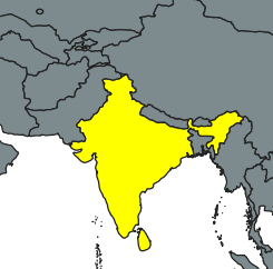
India, Cartosat ~30m Digital Surface Model.
Registration required, download via:
https://bhuvan-app3.nrsc.gov.in/data/download/index.php
Bhuvan Terms of Use.

09.05.2026
OpenDTM-DE
The affected records have now been clipped.
01.05.2026
OpenDTM-DE
Unfortunately, there is a half-pixel offset (±) in the data from Rhineland-Palatinate. As a result, the GeoTIFF files are 40001 × 40001 pixels in size instead of 40000 × 40000 pixels. The data itself is fine and will be clipped in the coming weeks.
Thanks to Octave for reporting this.
01.01.2026
State of the free DEMs of the world: OpenDemSearcher
For 46.5% of the worlds surface now free DEMs exists.
High resolution datasets are available for 25.2% of the world now.
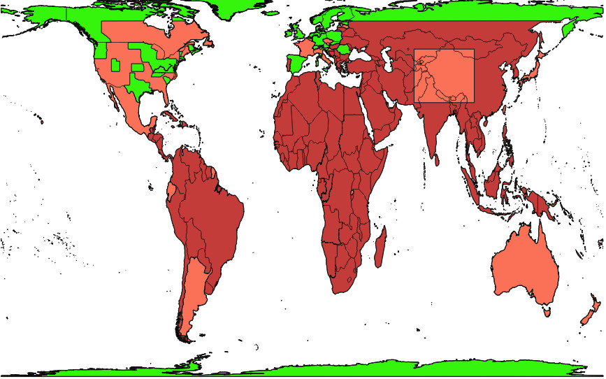
World Coverage of available high resolution DEMs (in green).
World Coverage of available mid resolution DEMs (in orange).
Made with Natural Earth.
Map and statistics made with the equal area Gall-Peters Orthographic Projection.
Mind the digital gap!
One small ray of hope on the horizon is that data is now also available for the first country on the African continent (Rwanda).
